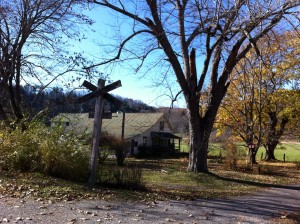
A clip filmed with my iPhone riding a short stretch of the Greenbrier River Trail in Hillsboro, West Virginia. The clip tells you a little about the trail and the experience of riding it.
Yesterday I biked about 15 miles of the Trail, as you can see mapped out on the site below. I biked out about 7 1/4 miles then most of the way back. Then I stopped MapMyRide and continued for the remainder narrated in the video.
The clip is a rough cut. I’ll do a proper edit eventually, probably collecting clips from different parts of the trail. But I have only recently started my job here at the Pearl S. Buck Birthplace and we have a lot to do, so for now, rough cuts it is.
The map above is of my ride until I started filming. You can follow it on MapMyRide, including a rather crude aerial flyover. I snapped a few pics with my iPhone and gathered them in a Flickr gallery. The trees are already much barer than when I last posted from the trail on October 23.
The map in the Oct. 23 post was done with Allsport GPS. I think I prefer that App. Does anyone else use either of these? Or aonther? What’s your experience with them?

